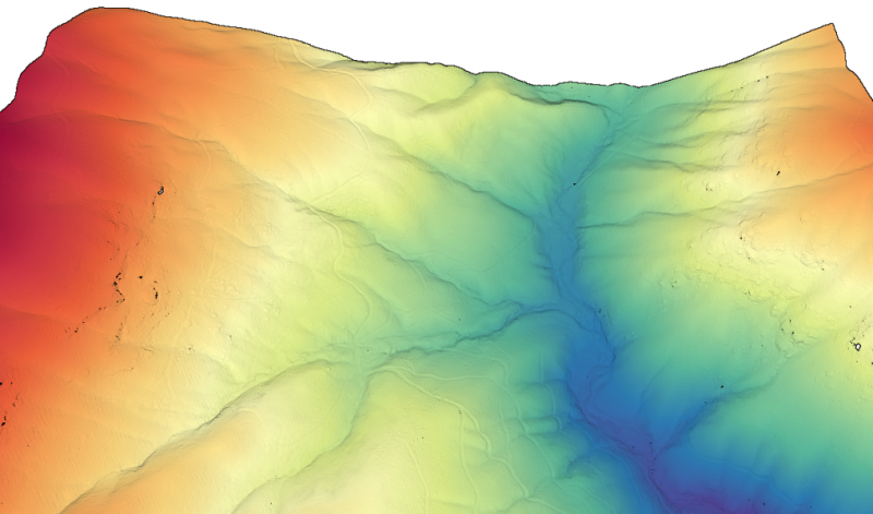
OpenTopography is pleased to announce the release of a new lidar dataset covering approximately 78 sq km near Hendersonville, North Carolina. This dataset was collected as part of an NCALM Seed grant for Dr. Corey Scheip at North Carolina State University to evaluate regional landslide area-volume scaling relationships after a large rainfall-triggered mass wasting event in western North Carolina...
Continue reading at OpenTopography.