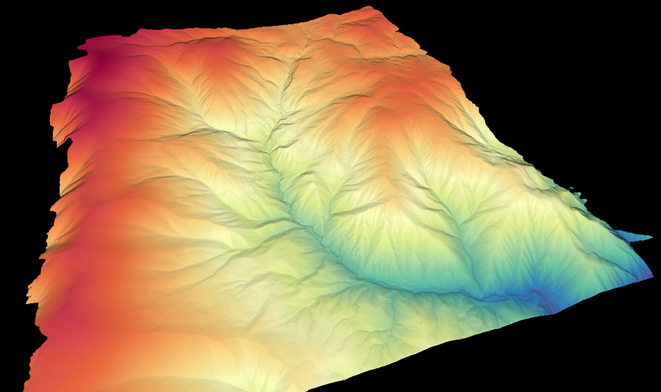
A new lidar dataset covering 42 km2 northwest of Salmon, Idaho is now available on OpenTopography. This lidar dataset was collected by the National Center for Airborne Laser Mapping (NCALM) for Brian Yanites at Indiana University, Bloomington in order to quantify the impact of a drainage diversion in the late 19th century on landscape processes. The lidar data will be used to map the channel morphology, landslides, and tension cracks that continue to propagate across the landscape to this day within the Dump Creek basin.
Continue reading at OpenTopography.
Related News:
New NCALM Lidar Dataset in Southeastern Sierra Nevada and Inyo Mountains
New NCALM Dataset of Eastern Cascade Mountains, Washington Now Available