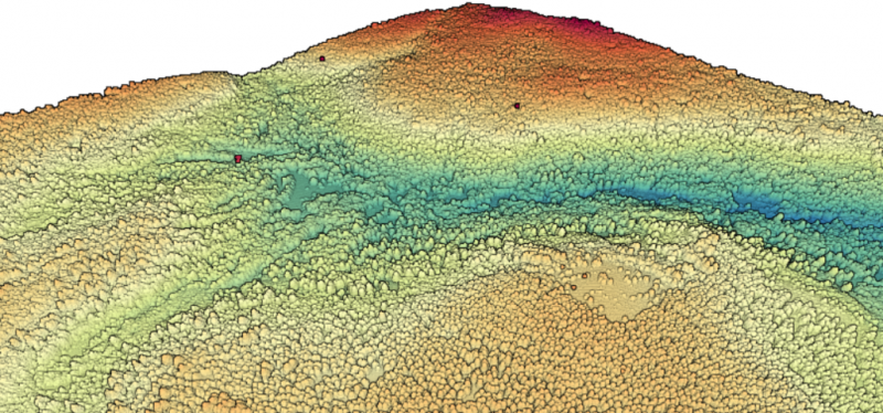
A new lidar dataset covering approximately 62 sq km within Tahoe National Forest near Truckee, California is now available on OpenTopography. This lidar dataset was collected as part of a National Center for Airborne Laser Mapping seed grant for Louis Graup at the University of California, Santa Barbara...
Continue reading at OpenTopography.