Skip to main content
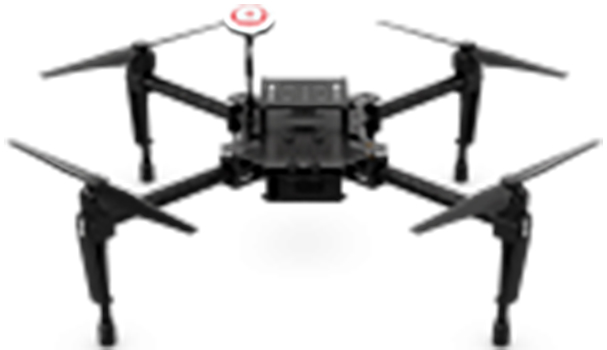
DJI Matrice 100
- Complete flight platform
- Type: Customizable payload, 12.4 MP camera
- Aperature: f/2.8
- Field of View: 94°
- Flight Time: 20 min
- Gimbal: 3 axis
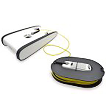
OpenROV Trident
- Integrated ballasted ROV
- Type: Wide-angle camera
- Range/Depth: 100 m
- Resolution: 1080p
- Run Time: 4 hr
- Sensors: IMU, depth, thermometer, barometer
- Real-time streaming
- OpenROV Cockpit app
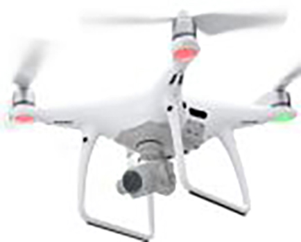
DJI Phantom 4 Pro
- Integrated sUAS
- Type: 20 MP camera
- Aperature: f/2.8–11
- Field of View: 84°
- Flight Time: 30 min
- Gimbal: 3 axis
- DJI GO 4 and DJI GS Pro software
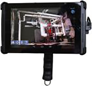
DotProduct DPI-8
- Handheld 3D imager
- Type: NIR structured light and RGB depth
- Range: 3.5 m
- Resolution: 3.5 mm at 2 m spatial, 3 mm at 1 m depth
- Field of View: 58° horizontal, 45° vertical, 70°depth
- Onboard processing
- Real-time quality control
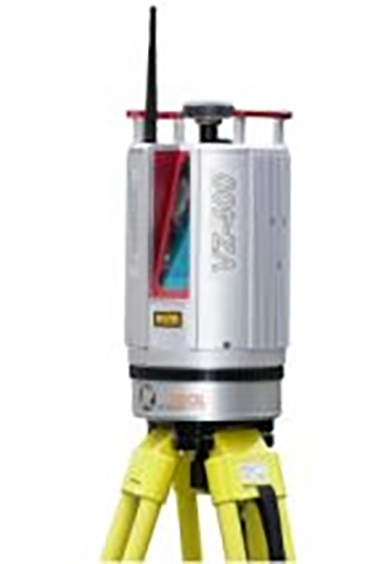
RIEGL VZ-400
- Terrestrial pulsed laser scanner
- Wavelength: Near infrared
- Pulse Rate: 300 kHz
- Range: 600 m at 90% reflectivity
- Resolution: 0.0024° horizontal, 0.0024° vertical
- Field of View: 360° horizontal, 100° vertical
- Beam Divergence: 0.3 mrad
- Echo digitization, unlimited targets per pulse
- Top-mounted 12.1 MP Nikon D700 digital camera
- RIEGL RiSCAN PRO software
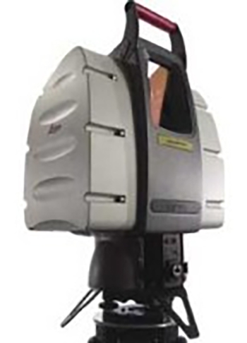
Leica HDS3000
- Terrestrial pulsed laser scanner
- Wavelength: Green
- Pulse Rate: 4 kHz
- Range: 300 m at 90% reflectivity
- Resolution: 20,000 pts/row horizontal, 5,000 pts/column vertical
- Field of View: 360° horizontal, 270° vertical
- Beam Divergence: 4 mm at 0 m–6 mm at 50 m
- Integrated 1 MP camera
- Leica Cyclone 9.0 software
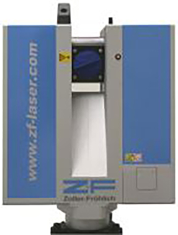
Z+F IMAGER 5006i
- Terrestrial continuous wave laser scanner
- Wavelength: 785 nm
- Acquisition Rate: 508 kHz
- Range (Ambiguity Interval): 79 m
- Resolution: 0.0018° horizontal, 0.0018° vertical
- Field of View: 360° horizontal, 310° vertical
- Beam Divergence: 0.22 mrad
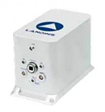
iXBlue LANDINS
- Inertial Navigation System
- Output Rate: 200 Hz
- Accuracy: 0.005° roll/pitch, 0.01° heading
- Fiber-optic gyroscope sensors
- Embedded GNSS receiver