NCALM Investigators
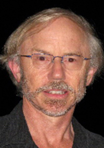
William E. Dietrich, Co-Director
Ph.D., 1982, University of Washington
Professor: Mechanistic, quantitative understanding of the form and evolution of landscapes, linkages between ecological and geomorphic processes, tools to tackle environmental issues
510.643.9980
bill [at] eps.berkeley.edu
Juan Carlos Fernandez Diaz, Co-PI
Ph.D., 2010, University of Florida
Research Assistant Professor: Active remote sensing for 3D structural parameters and processes, lidar/radar synergy, environmental monitoring, archaeological prospection in tropical environments, logistics and operations lead for airborne mapping projects in Latin America
832.842.8884
jfernandez11 [at] uh.edu
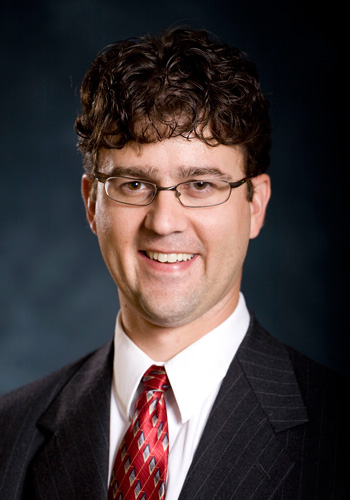
Craig L. Glennie, PI & Director
Ph.D., 1999, University of Calgary
Professor: Kinematic remote sensing system integration and calibration, lidar processing and analysis, 3D change detection, open source software development
832.842.8861
clglennie [at] uh.edu
GSES Faculty

Ph.D., 2020, University of South Florida
Research Assistant Professor: Surface and subsurface features and changes using satellite and ground-based geodetic data
813.508.4654
fdeng4 [at] uh.edu
Ph.D., 2018, University of Houston
Research Assistant Professor
nekhtari [at] uh.edu

Ph.D., 2008, Ohio State University
Professor: Satellite altimetry, gravimetry, and synthetic aperture radar, natural hazard monitoring and warning using satellite geodetic observations
713.743.4685
hlee [at] uh.edu
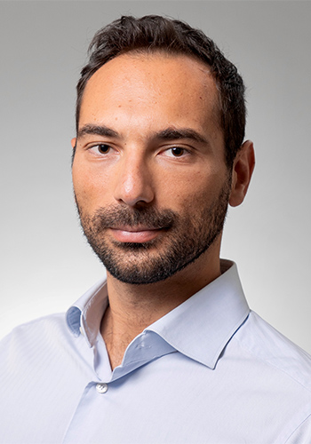
Ph.D., 2016, University of Basilicata
Assistant Professor: Remote sensing data exploitation, computational analyses in earth science and hazard response, instrument effectiveness analysis
713.743.7792
pmilillo [at] uh.edu

Ph.D.
Research Professor: DHS BTI Institute
hsalloum [at] central.uh.edu

Ph.D., 2020, University of South Florida
Assistant Professor: Seafloor geodesy, crustal deformation, coastal subsidence, marine-terminating glacier and mélange dynamics, GNSS interferometric reflectometry
sxie6 [at] uh.edu
Emeritus Investigators
Ramesh L. Shrestha, Co-PI & Director
Ph.D., 1983, University of Wisconsin, Madison
Professor: Geodesy, GPS, adjustment computations, coordinate reference frames, GIS, Airborne Laser Swath Mapping (ALSM), lidar surface modeling, airborne digital imaging and mapping
rlshrestha [at] uh.edu
William E. Carter, Co-PI
Ph.D., 1973, University of Arizona
Advanced geodetic techniques (e.g., VLBI), GPS, Airborne Laser Swath Mapping (ALSM), absolute gravimetry
wecarter [at] uh.edu

