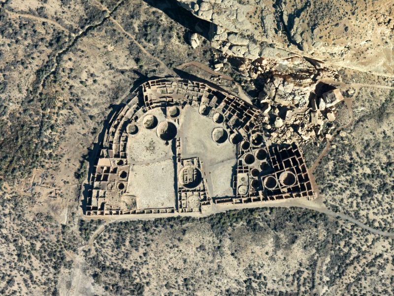
Over 500 km2 of lidar data at Chaco Culture National Historical Park and the surrounding area are now available on OpenTopography. The project was mapped by NCALM in 2016 as part of an NSF proposal, Collaborative Research: Three Dimensional Landscape Reconstruction and Land Use Modeling at Chaco Canyon, New Mexico.