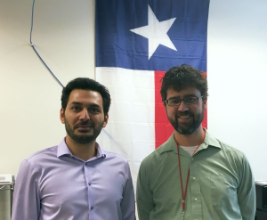
Ph.D. candidate Nima Ekhtari defended his dissertation titled, "Land Cover and Impervious Surface Mapping Using Multispectral Airborne Laser Scanner Data." High-resolution, multispectral (multiwavelength) laser scanner data were used to classify land cover, using machine learning, into diverse classes for impervious surface mapping and urban change studies. The dissertation proposes two methods to mitigate the influence of multi-echo effect on the spectral information of ALS returns. Hybrid intensity correction schemes were also devised and tested to improve classification accuracy. The final impervious surface map showed that the approach had higher accuracies compared to a similar map created from a hyperspectral passive imager, demonstrating the advantage of multispectral ALS data for automated, high-accuracy, high-resolution impervious surface mapping.
Nima’s Geosensing Systems Engineering & Sciences (GSES) advisor was Dr. Craig Glennie. He is currently working at CobbFendley & Associates as a GIS Analyst. Congratulations, Nima!


