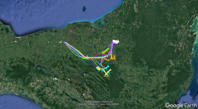
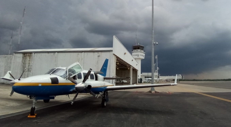
The National Center for Airborne Laser Mapping completed four projects in Chiapas and Tabasco, Mexico, for several PIs. After small delays upon entering the country, NCALM was able to map over 1,000 km2, with eight flights over nine days, throughout east Tabasco, the Palenque area, and northeast Chiapas. The team based out of the Villahermosa International Airport.
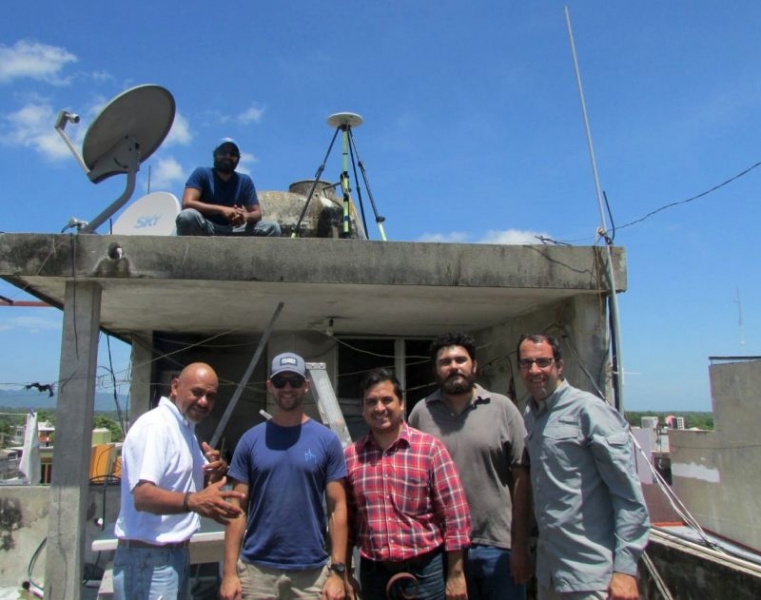 A special thanks goes to Carlos Gustavo Rosado Macosay, who granted access and electricity in his home to set up and operate a GPS base station in Tenosique. This was made possible through Takeshi Inomata's student Miguel Omar Garcia Mollinedo, and his father Miguel Garcia Hernandez. The NCALM team is grateful to Charles Golden and the Proyecto Arqueológico Busiljá-Chocoliá team for operating a base station at Finca Vallescondido, and to the Hotel Tulijá Express Palenque for providing a location for the final GPS station. Additionally, Keiko Taranishi of INAH Palenque did tremendous work in assisting NCALM complete the projects.
 The crew, pilot, and aircraft have moved to Guatemala to continue working on multiple projects. Several hundred square kilometers are planned to be mapped before the team moves to other locations, including Belize and El Salvador. Follow @NCALM_UH on Twitter for more updates.