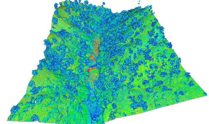
A 250 square kilometer dataset from the Kern River Canyon is now available on OpenTopography. The area of interest was the Kern River between Bakersfield and Isabella Lake in California. The data are part of a study of erosion and sedimentation in the lower Kern River drainage. More information and access to the data can be found here.