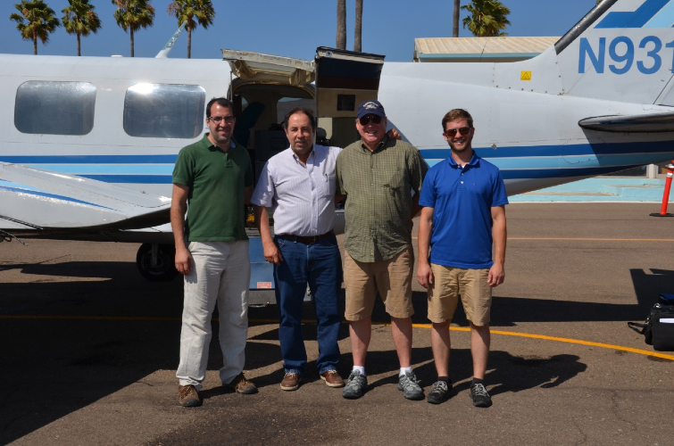
A team from NCALM recently traveled to Ensenada, Mexico, in Baja California, to scan the Agua Blanca Fault. Several miles of the fault were mapped for collaborating researchers from CICESE (Ensenada Center for Scientific Research and Higher Education) and the University of Texas. The processed data will be used to study the surface and displacement of the fault. An article about the project from CICESE is available here. (Click here to read the original version in Spanish.)
Additionally, during the spring, NCALM flew several missions over a two-week period in the Mexican states of Campeche, Veracruz, and Merida. Multiple Mesoamerican archaeological sites were surveyed for anthropological researchers.