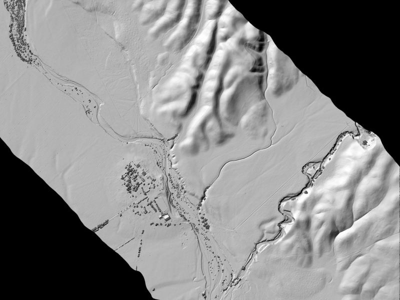
OpenTopography has released a new publicly-available NCALM lidar dataset covering 28 km2 of the San Andreas Fault near Parkfield, California. The data were part of the Seed Proposal program and collected for a student PI. Read more at opentopography.org, where the data is also available. You can find out more about the Student Seed Proposal program here.