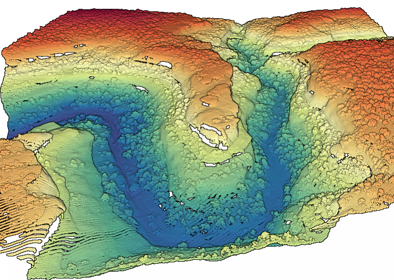
OpenTopography is pleased to announce the release of a new lidar dataset covering approximately 230 sq km covering Cedar Mesa and Bears Ears National Monument, Utah (Shash Jáa Unit). This dataset was collected for a study to explore the dynamic impacts of environmental change and biomass harvesting on woodland ecosystems and traditional livelihoods...
Continue reading at OpenTopography.