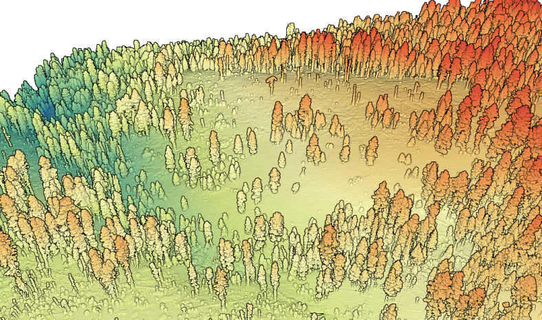
OpenTopography is pleased to announce the release of a new lidar dataset covering approximately 74 sq km covering the Illilouette Creek basin in Yosemite National Park, California. This dataset was collected for Dr. Sally Thompson at the University of California, Berkeley in order to assess the occurrence and characteristics of post-fire erosion gullies caused by the Empire Fire in the Illilouette Creek basin...
Continue reading at OpenTopography.