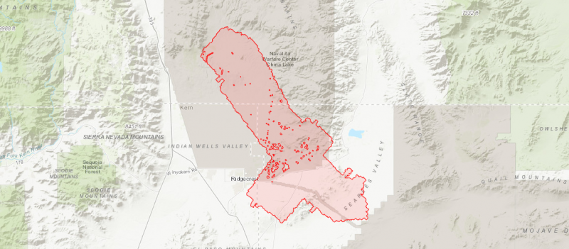
OpenTopography is pleased to announce the release of an updated 2019 lidar dataset, collected by the National Center for Airborne Laser Mapping and funded by the U.S. Geological Survey and the U.S. National Science Foundation, covering 784 sq km of the region impacted by the 2019 Ridgecrest earthquake sequence in southern California...
Continue reading at OpenTopography.