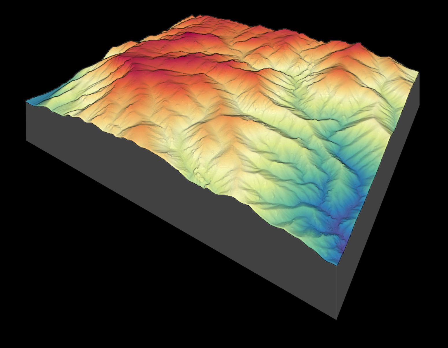
Four new lidar datasets collected by the National Center for Airborne Laser Mapping (NCALM) are now available on OpenTopography. These include a dataset covering 73 km2 of the Marble, Middle and East Forks of the Kaweah River in the Sierra Nevada mountains in California. This dataset was collected in 2021 as part of an NCALM Seed Grant for Sophie Rothman at the University of Nevada, Reno to assess how self-generation and retreat of bedrock steps and waterfalls can alter river profiles.
Continue reading at OpenTopography.
Related News:
New NCALM Dataset Northwest of Salmon, Idaho Available
New NCALM Lidar Dataset in Southeastern Sierra Nevada and Inyo Mountains