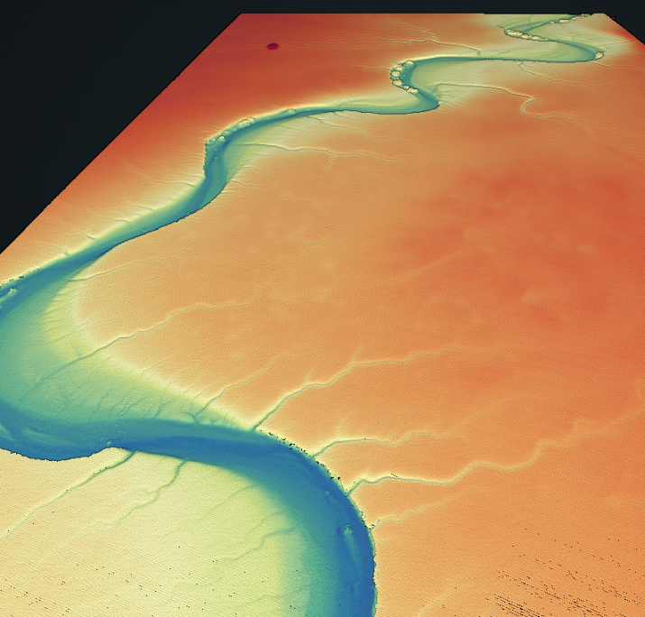
A new lidar dataset covering 53 km2 over the McLeod Springs Wash in Nevada is now available on OpenTopography. This lidar dataset was collected by the National Center for Airborne Laser Mapping (NCALM) as part of the Seed grant program for Michael Hasson at Stanford University. This dataset was collected to help analyze morphodynamics of an unvegetated meandering river.
Continue reading at OpenTopography.
Related News: