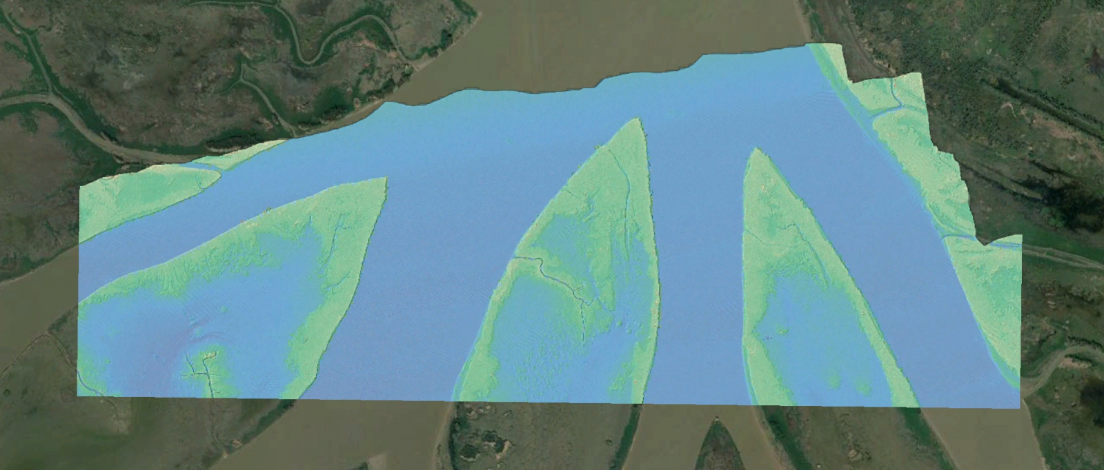
A new lidar dataset covering 53 km2 in the Wax Lake Delta, LA is now available on OpenTopography. This lidar dataset was collected by the National Center for Airborne Laser Mapping (NCALM) as part of the Seed grant program for Justin Nghiem at the California Institute of Technology. This dataset was collected with both an infrared and green channel to enable collection of bathymetry as well as the ground surface and will enable research to help understand modern coastal sediment accretion rates and spatial patterns in the Wax Lake Delta, LA.
Continue reading at OpenTopography.
Related News: