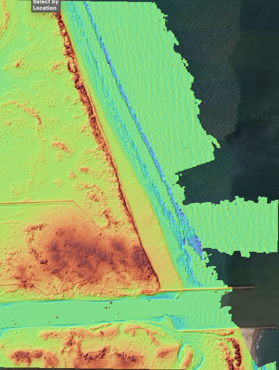
A new lidar dataset covering 61 km2 over Padre Island, TX is now available on OpenTopography. This lidar dataset was collected by the National Center for Airborne Laser Mapping (NCALM) as part of the Seed grant program for Kenton Fisher at Texas A&M University. This dataset was collected to help analyze changes in the sand budget, elevation, and geomorphic facies of Padre Island.
Continue reading at OpenTopography.
Related News: