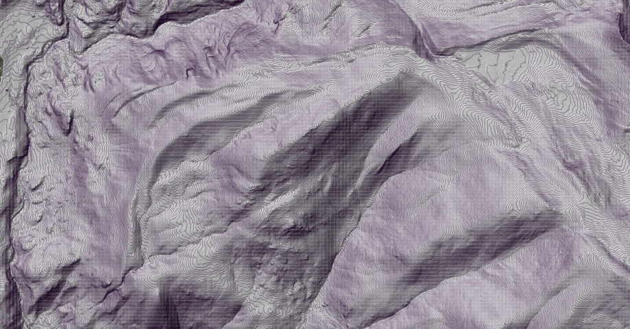
Two new Seed grant datasets from NCALM (National Center for Airborne Laser Mapping) are now available from OpenTopography. On July 13th 2021 a lidar dataset within the Sierra Nevada mountains in California was collected for Justin Higa at University of California, Los Angeles. This dataset was collected to help analyze topographic and lithologic controls on subsurface weathering in the Sierra Nevada mountains. In addition, between July 10-11 2021, a dataset was collected for Conor McMahon at the University of California, Santa Barbara. This dataset was collected to provide riparian vegetation mapping, classification, and to measure historic drought response over the San Pedro river in southern Arizona.
Continue reading at OpenTopography.
Related News: